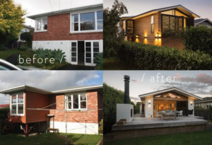
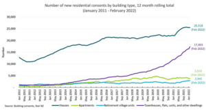
In Hamilton, the decision to renovate or rebuild is rarely about taste alone—it’s a financial, regulatory, and risk-based call. Land values, Development Contributions, consent pathways, and infrastructure constraints all influence which option stacks up. This article breaks down when renovation outperforms a new build (and when it doesn’t), using Hamilton and Waikato-specific realities